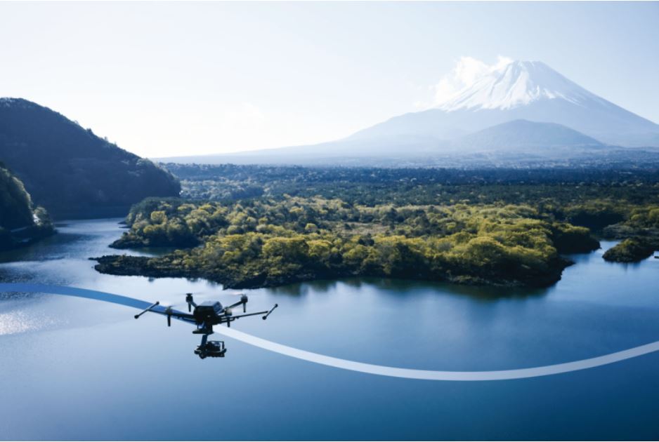
Image via Inertial Labs
In a significant leap forward in drone technology, Inertial Labs announced a landmark collaboration with Sony to develop a state-of-the-art LiDAR system specifically for Sony’s Airpeak drone. This innovative venture is set to revolutionize drone capabilities in various applications, including surveying, mapping, and cinematic videography.
The new LiDAR system, harnessing the expertise of Inertial Labs in sensor technology, promises to deliver unprecedented accuracy and detail in aerial mapping and 3D modeling. Coupled with Sony’s leading-edge drone technology, this collaboration is poised to set a new benchmark in the industry.
Designed with professionals in mind, this advanced LiDAR system integrated into Sony’s Airpeak drone will significantly improve workflow efficiency and data accuracy, particularly in areas like construction, agriculture, and filmmaking.
“This collaboration aligns with our commitment to innovation and providing our customers with cutting-edge technology,” said Kento Sayama, Deputy Vice President of Imaging Solutions, Sony Electronics. “Inertial Lab’s expertise in LiDAR and sensor technology complements our vision for the Airpeak, setting a new standard for drone capabilities.”
Inertial Labs CEO Jamie Marraccini added, “Working with Sony, a world leader in technology, allows us to push the boundaries of what’s possible in drone applications. This partnership is a testament to our shared dedication to advancing the industry.”
The collaboration is not just a step forward for professional drone use but also an indication of the potential for future drone technology across various sectors. The new LiDAR-equipped Airpeak drone is expected to be a game-changer in multiple industries, providing advanced tools for professionals worldwide.
TrendForce 2024 Infrared Sensing Application Market and Branding Strategies
Release: 01 January 2024
Format: PDF
Language: Traditional Chinese / English
Page: 172
|
If you would like to know more details , please contact:
|


 CN
TW
EN


