Velodyne Lidar announced a partnership with University of Nevada, Reno to advance research in transportation infrastructure. The university’s Nevada Center for Applied Research purchased and, in conjunction with the Nevada DOT and Nevada Governor’s Office of Economic Development, is using Velodyne’s LiDAR sensors in its Intelligent Mobility initiative to collect data aimed at making transportation more efficient, sustainable and safe.

(Image: Velodyne Lidar)
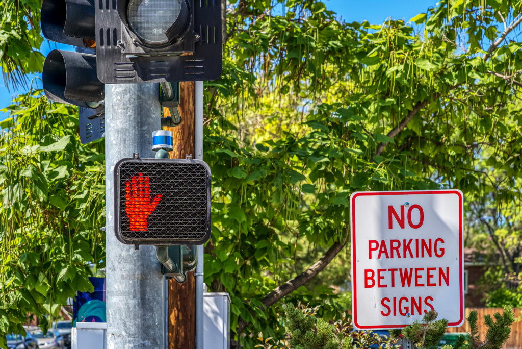
The program has integrated Velodyne Ultra Puck LiDAR sensors with traffic signals to detect, count and track pedestrians, cyclists and traffic to help improve traffic analytics, congestion management and pedestrian safety. These LiDAR sensors have been placed at crossing signs and intersections in the city of Reno, Nevada, and because LiDAR used today does not allow for facial recognition, these smart city applications can preserve trust and anonymity among the public.
“LiDAR-enhanced” roads can also communicate data to connected vehicles to support eco-drive and collision avoidance applications. To address roadway congestion monitoring, university researchers have developed speed measurement, and delay and queue length measurements using LiDAR data.
The program also has an electric bus operated by the Regional Transportation Commission of Washoe County. The bus is equipped with an Ultra Puck and other sensors to collect data to assess mass-transit routes and feasibility of mass-transit automation in city segments with a connected infrastructure.
“Velodyne’s lidar sensors have been instrumental in our transportation research, providing the accurate, reliable 3D data we need in our Intelligent Mobility program,” said Carlos Cardillo, Director, Nevada Center for Applied Research. “Velodyne sensors are helping us address the challenge of improving mobility and safety in transportation, and contribute to advancing smart cities.”


 CN
TW
EN


